
Research
Extreme Event Analysis
Extreme total water levels are influenced by a combination of processes. The contribution of each process to total water levels varies depending on regional differences in climate and framework geology, as well as local-scale variations in riverine input, beach morphology, coastal orientation, and shelf bathymetry. Our research analyzes observational records to explore which processes are the dominant contributors to extreme total water levels and models how those contributing processes might change in the future.
Serafin, K.A., Ruggiero, P., Barnard, P.L. and Stockdon, H.F., 2019. The influence of shelf bathymetry and beach topography on extreme total water levels: Linking large-scale changes of the wave climate to local coastal hazards. Coastal Engineering, 150, pp.1-17. DOI: 10.1016/j.coastaleng.2019.03.012
Serafin, K.A., Ruggiero, P. and Stockdon, H.F., 2017. The relative contribution of waves, tides, and nontidal residuals to extreme total water levels on US West Coast sandy beaches. Geophysical Research Letters, 44(4), pp.1839-1847. DOI: 10.1002/2016GL071020
Compound Flooding Hazards
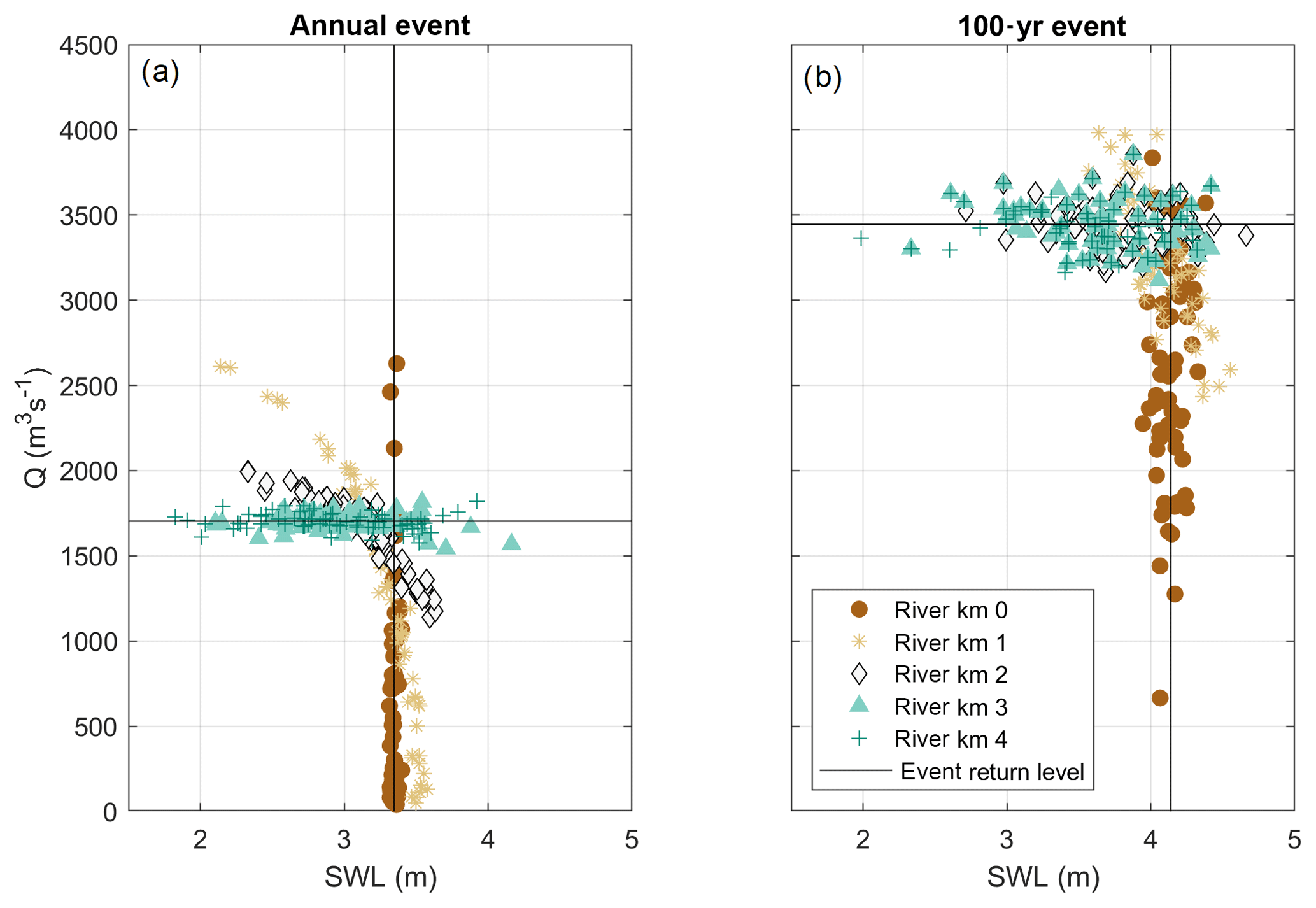 Flooding in coastal and estuarine environments is often driven by the combined effect of coastal, fluvial, and pluvial processes. Our research uses statistical and physical modeling to explore how the drivers of flooding events vary in space and time. We are currently evaluating coastal-riverine “transition zones” where both coastal and river-driven processes are necessary for properly characterizing return level events.
Serafin, K.A., Ruggiero, P., Parker, K. and Hill, D.F., 2019. What’s streamflow got to do with it? A probabilistic simulation of the competing oceanographic and fluvial processes driving extreme along-river water levels. Natural Hazards and Earth System Sciences, 19(7), pp.1415-1431. DOI: 10.5194/nhess-19-1415-2019
Flood Risk Management in a Changing Climate
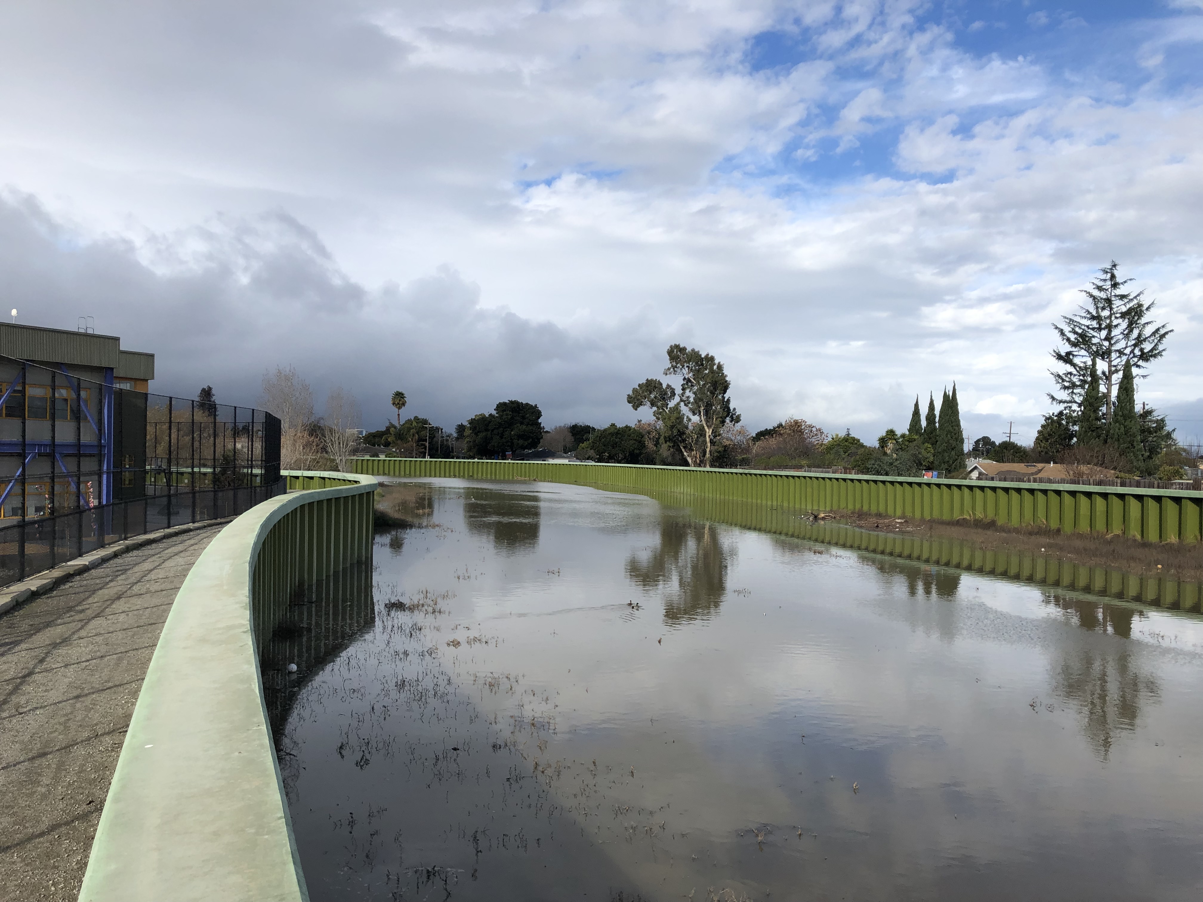 Our research explores the transfer of flood risk in an urban setting by crossing changes in climate extremes with infrastructure modifications. Our study site, the San Francisquito Creek, runs through five municipalities with a large variation in wealth. We find that infrastructure projects developed to mitigate present-day flooding transfer flood risk to downstream locations where there is a higher percentage of low-income residents. Our study provides an impact-centric framework that weighs the positive outcomes of flood mitigation strategies with the potential for negative socioeconomic ramifications, all of which are necessary to consider for sustainable and equitable flood risk management in an uncertain future.